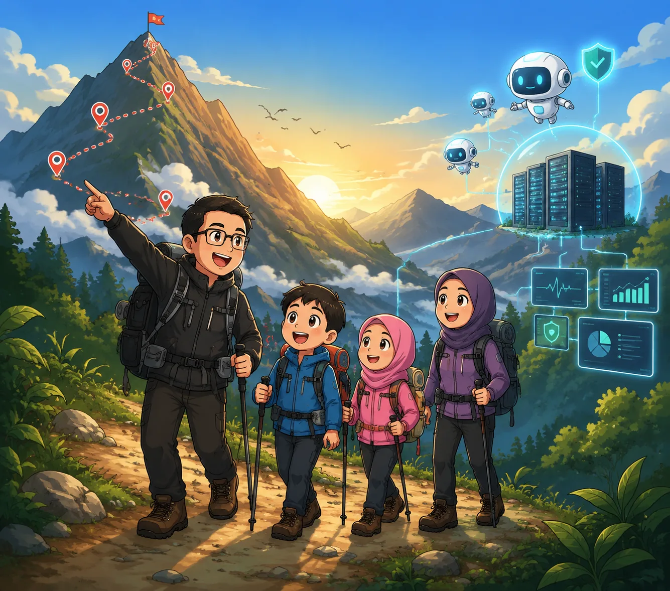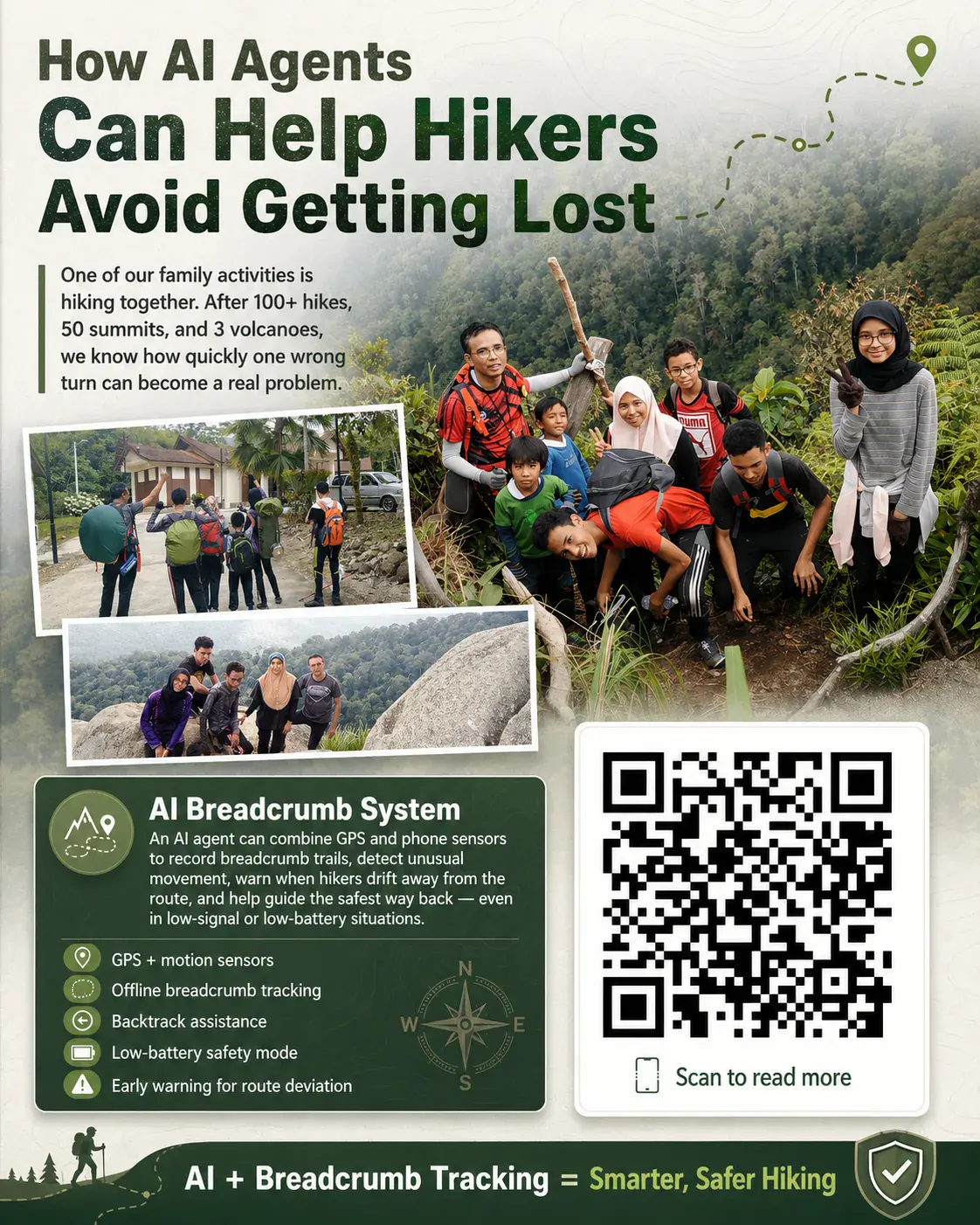
One of our family activities is hiking mountains together.
Over the years, we have completed more than 100 hikes, reached around 50 summits, and climbed 3 volcanoes. Through these experiences, I learned one important thing: in the outdoors, getting lost does not usually happen suddenly. It happens slowly - one wrong turn, one missed marker, one moment of overkeyakinan, and suddenly the trail no longer feels familiar.
This is where an Ejen AI Breadcrumb System can become very useful.
A breadcrumb system records the movement trail of a hiker step by step. It can use GPS when available, or combine phone sensors such as accelerometer, gyroscope, compass, barometer, and motion sensors to estimate movement when GPS is weak or battery needs to be preserved.
With an Ejen AI, the system becomes more than just a map.
It can detect when a hiker moves too far away from the original trail.
It can warn when the movement pattern looks unusual, such as walking in circles.
It can suggest the safest way back by following the last recorded breadcrumb points.
It can switch to low-battery mode by reducing GPS usage and relying more on motion sensors.
It can continue working offline when there is no internet or mobile signal.
For open areas, GPS is still the most accurate option. But in forests, valleys, or areas with weak signal, sensor-based tracking can act as a backup trail memory. It may not be perfect, but having a rough direction is far better than having nothing at all.
Imagine a hiking companion inside your phone saying:
“You are 300 meters away from your original route.”
“Battery is low. Switching to energy-saving breadcrumb mode.”
“You passed this area 20 minutes ago. You may be circling.”
“The safest return path is to follow your last 12 breadcrumb points.”
This is not just another map app. This is an AI safety companion for hikers.
In the future, this kind of system can be connected with smartwatches, offline maps, satellite messengers, and emergency beacons. The Ejen AI can help hikers make earlier, smarter decisions before the situation becomes dangerous.
But technology should never replace preparation. Offline maps, compass, power bank, water, food, headlamp, and informing family members are still essential.
AI does not replace outdoor discipline. AI supports better decisions.
For me, this is one of the most practical uses of Agent AI - not just as a chatbot, but as a real-world system that can help protect people during outdoor activities.
Ejen AI + Breadcrumb Tracking + GPS + Motion Sensors = a smarter and lebih selamat hiking experience.
https://ainna.bond/alatan/breadcrumb/